GIS Systems Analyst & Developer
ArcGIS works-management and field apps for local government β and AI-assisted platforms that turn spatial data into decisions.
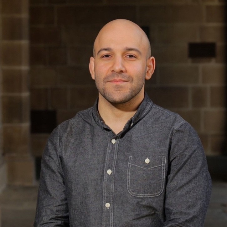
Engineer by training, GIS developer by choice.
I started in civil engineering and construction site management, then completed a master's in petroleum engineering before moving into spatial engineering at the University of Melbourne.
Since then I've worked across government GIS β flood and fire recovery at Parks Victoria, running the whole GIS function at Mansfield Shire, cadastral and asset automation at Greater Shepparton β and now the works-management platform at the City of Tea Tree Gully.
Alongside that I build geospatial platforms at CSDILA, University of Melbourne. The thread is the same everywhere: find the slow or error-prone step, automate what can be made reliable, and keep people in charge of the judgement calls.
Every project starts with a bottleneck. Here's what I changed, why β and where I kept a person in charge.
Problem Capital projects, customer requests and proactive maintenance programs all generate field work β on a live platform whose documentation no longer matched how the system actually behaved. What I did Took ownership of the council's production works-management platform (ArcGIS Enterprise, Experience Builder, Field Maps, Survey123, Arcade attribute rules and cloud integrations). Mapped its real behaviour from the live services, restored broken production forms, and built workload and adoption dashboards plus overdue alerts for field crews. Safeguard Every change proven in staging first β dry-run by default, guards that refuse production, backups and rollback before each write β with impact measured on real data before new rules are designed.
Works Management Β· City of Tea Tree GullyProblem "What if?" questions about heat, flooding, corridors or new development needed physics simulations that take hours, separate datasets and GIS experts to drive them. What I did One 3D platform with plain-language spatial queries, neural surrogates trained on SOLWEIG and HEC-RAS for near-instant heat and flood scenarios, green-corridor planning, AI change detection and a natural-language cadastre. Safeguard Surrogates judged on whole-domain evaluation, outcomes shown with confidence and evidence tiers, and an explainable optimiser instead of a black box.
UMAMI Β· University of Melbourne Β· Live platformProblem Every fortnight, each proposed property change was checked by hand against the rates system and the state cadastre. What I did Automated the chain end-to-end β email ingestion, FME reload, M1 generation, validation. Spatial and database rules settle the clear cases; only ambiguous rows reach a language model, with strict-schema output. Safeguard Read-only database access by design; every row gets KEEP/REJECT with a reason and confidence β a person makes the final call.
Vicmap M1 Pipeline Β· Greater Shepparton Council Β· SourceProblem Choosing the right satellite, aerial or LiDAR data for a project takes specialist knowledge β and sending every request to an LLM is slow, costly and hard to audit. What I did Tiered parsing β rules and gazetteers first, then embeddings, and the LLM only when confidence falls below a threshold. Sensors ranked by a weighted fit score. Safeguard Every AI agent has a deterministic fallback, and its output is labelled with how it was produced.
Terrascout Β· terrascout.appProblem Language models guess at distances and spatial relationships β confidently, and often wrong. What I did A protocol and MCP tools that route spatial questions to real geodesic and topology engines, plus a 535-question benchmark comparing models with and without tools. Safeguard Results reported honestly β including where tools or prompting made a model worse.
GeoSpark Β· Open source Β· SourceProblem Planners test "what if" scenarios, but physics-based heat simulation is too slow to run interactively. What I did A U-Net surrogate trained on simulation outputs for near-instant heat estimates, alongside planning models parameterised to Plan Melbourne and Australian standards. Safeguard One model library behind both the QGIS plugin and the web platform, so results never drift between tools.
UrbanMind Β· urbanmind.terrascout.appProblem Damage assessments in flood- and fire-affected areas with no mobile coverage, reported back inconsistently and late. What I did Standardised Field Maps and Survey123 forms that work offline and sync on reconnect, feeding dashboards for recovery leadership. Safeguard One form schema for every crew, so data is comparable across regions from day one.
Field data collection Β· Parks VictoriaOrganisations I've worked with
From council systems to open-source tools β what each one solves and how it's built
University of Melbourne platform that combines plain-language spatial queries with physics-trained models on a 3D globe: urban heat and flood what-if scenarios, green-corridor planning, AI change detection, natural-language cadastre, planning-compliance auditing, live hazard layers and IoT sensing.
Describe a project in plain English and get ranked satellite, aerial and LiDAR datasets with feasibility checks. Rules and embeddings run first, the LLM is called only below a confidence threshold, and every AI agent has a deterministic fallback.
Paint development scenarios onto a map and test them against planning models parameterised to Plan Melbourne and Australian standards. A U-Net surrogate stands in for slow heat simulation, and a tool-using AI agent answers spatial questions.
Language models guess at geometry; GeoSpark makes them compute it. A protocol and MCP tools route spatial questions to real geodesic and topology engines, and a 535-question benchmark compares 9 models with and without tools.
Automates a council's fortnightly property-update cycle end-to-end. Deterministic rules settle the clear cases, a language model reviews only the ambiguous rows, database access is read-only by design, and a person makes the final call.
Compares two dates of high-resolution aerial imagery to flag new buildings, extensions and demolitions for human review, combining image registration, zero-shot vision models, footprint-led corroboration and polygon regularisation.
Offline-first Field Maps and Survey123 forms for damage assessment across flood- and fire-affected parks, with one shared schema for every crew and dashboards for recovery leadership.
Connects a council's Content Manager records system to FME and ArcSDE: pulls record numbers out of project exports, downloads documents in bulk, and matches them to capital works layers.
Multi-decade land-cover and vegetation change analysis of the Venice Lagoon in Google Earth Engine, using Landsat 5/7/8 imagery (1985β2020), spectral indices and supervised classification to support a habitat restoration project.
Reads drone-image GPS, detects the correct Saudi UTM zone and injects the KSA-GRF17 coordinate system automatically, with no manual geodetic setup and no external network calls.
Master's capstone: indoor COβ, temperature and humidity sensors streamed over MQTT into live dashboards β later rebuilt as a FastAPI, WebSocket and React sensor module.
Packages anyone can install and repositories anyone can inspect.
From field GIS and emergency response to council systems and platform engineering
City of Tea Tree Gully Β· Adelaide, SA (Remote)
Developing and delivering the Council's works management solution across the City Operations portfolio β geospatial digital works-solutions that make operational processes more efficient and effective.
Centre for Spatial Data Infrastructures and Land Administration (CSDILA), University of Melbourne
Building GeoAI platforms and spatial data pipelines for University of Melbourne research and industry partners β from raw data to deployed, tested services.
Greater Shepparton City Council
Enterprise GIS and asset management for local government β cadastral and property data automation, Confirm asset data, and integration between council systems.
Mansfield Shire Council
Sole GIS professional β owned the full GIS function for planning, rates, property and asset teams, including vendor relationships, software procurement and subscription administration.
Centre for Spatial Data Infrastructures and Land Administration
Contributed to spatial data infrastructure research, supporting the development of digital twin technologies and spatial data management frameworks.
Curtin University
Provided specialized GIS analysis and data support for university research projects.
Parks Victoria
Led critical GIS operations for Victoria's largest land manager, specializing in emergency response mapping and environmental risk assessment.
HUMAYA Automation
Developed enterprise web mapping applications for infrastructure management and spatial analysis.
Avale Enterprises
Specialized in satellite imagery analysis and machine learning for environmental monitoring and land use classification.
Professional Roles
Flood & Fire Disaster Mapping
Local & State Government GIS
Government, Research, Private
Esri enterprise GIS first β backed by automation, full-stack development and AI integration
80+ verified credentials across AI, GIS platforms, cloud computing, and data engineering
Showing 9 of 75 professional certifications
Have a spatial data challenge? Let's explore how I might be able to help.